This new bike map is large and in charge!
Go northwest, dear rider!
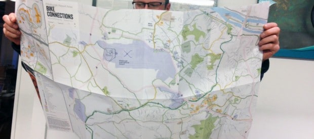
Did you know that the Montour Trail is connected to many amenities? Well, now you can explore with a new a new map designed to connect bike riders and trail users to the area around the Pittsburgh International Airport (Moon, Imeperial, Coraopolis, etc).
 The Airport Corridor Transportation Association just released the airport connections transportation map highlighting the parks, trails, businesses and campgrounds in the area. The map also includes useful information for riders such as basic hand signals for bicyclists and instructions on how to fix a flat.
BikePGH’s advocacy director, Eric Boerer sat on the committee of folks who made the map and was thrilled to participate in the project. It’s exciting to partner with the the transportation association as they work to create infrastructure improvements and informational resources that help visitors and area bicyclists to get around more easily and safely.
View the online version of the new map here.
For a free copy of a paper map or a $5 waterproof map, call ACTA, 412-533-4602.
Invest in vibrant livable streets across Pittsburgh! With your support we are can expand programs and advocacy that directly enhance the quality of life in our city. Please consider making tax-deductible year end gift to keep the momentum rolling!