Looking for a calmer, less stressful alternative to Penn Avenue?
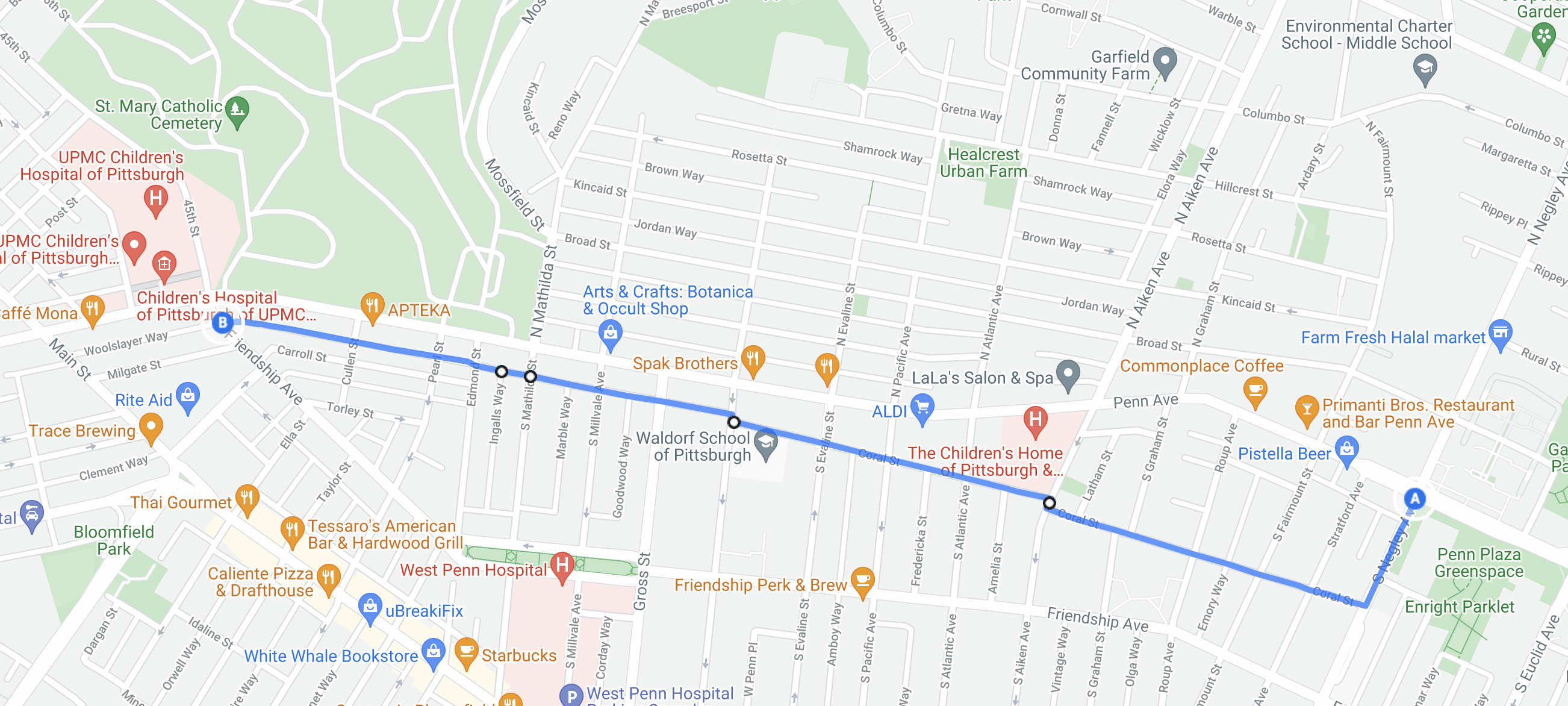
The Bloomfield/Friendship Neighborway connects Bloomfield & Friendship via Coral Street and Comrie Way, to Friendship Ave near Children’s Hospital and the Negley Ave bike lanes. The route includes wayfinding signage, neighborhood traffic circles, sharrows, bump-outs, and other traffic calming measures.
A Neighborway is the newest street type in the City of Pittsburgh. It’s a street, or series of connected streets, where motor vehicle speeds and volumes are kept low to make it more comfortable for existing residents, while also making it safer for people to walk, ride a bike, and for kids to play.
Neighborways are located on low-volume residential streets and provide a low-stress alternate route to a major arterial while discouraging drivers from using the street as a cut-through. Because Neighborways are traffic-calmed and do not include bike lanes, the impact on parking or the existing street layout is minimal.
Visit the Bloomfield/Friendship Neighborway and experience the streets of Pittsburgh with less stress and more safety.

How to Ride the Bloomfield/Friendship Neighborway
From Negley Ave towards Bloomfield through Friendship

Right on Coral St

Veer right around the Traffic Circle(s)
Continue straight through three neighborhood traffic circles!

Use the Contraflow Bike Turnbox to cross S. Aiken Ave.
Contraflow bike lanes are designed to allow bicyclists to ride in the opposite direction of motor vehicle traffic.

The 2nd Contraflow Bike Turnbox helps you cross Winebiddle

Continue to ride down Comrie Way

Turn Right for Lawrenceville or Left for Friendship

BikePGH Educational Videos are Sponsored by PNC Bank
Subscribe to our newsletter for the latest updates!
Sign up for Bike Pittsburgh’s newsletter, The Messenger. It goes out bi-monthly and it’s one of the key ways we communicate with people who bike and walk in the Pittsburgh region.