
Find and create the “best available,” low stress turn-by-turn bike routes
Bike Streets Mapmaker is a free platform for riders to find turn-by-turn navigation and for bike advocates to create and publish maps of the “best available bike network” in their cities. The team originally developed the technology to support their work in Denver, where they’ve been publishing the Low-Stress Denver Bike Map since 2018. In June of 2024, they launched the iPhone app, followed by the Android app in March 2025.
The Problem.
Most US cities are like Pittsburgh, and have incomplete bike networks where bike lanes suddenly end, leaving riders to figure out how to connect to the next bike lane or residential street. While BikePGH has been producing the paper Pittsburgh Bike Map (and online companion) for route planning since 2007, it does not offer turn-by-turn bike navigation.
Drivers have high quality navigation, yet the closest thing for instant bike navigation is on Google Maps, which tends to route on the bigger, scarier streets. This leaves many people finding it impossible to get around on a bike outside of their own neighborhood where they intimately know the chill streets and cuts to ride.
Enter Bike Streets for immediate, turn-by-tun navigation.
The Bike Streets team built Mapmaker to solve their own challenges in Denver, and it’s now available for advocates in other cities, such as Pittsburgh, to create modern maps of the low-stress bike networks using existing bike infrastructure and hyper local knowledge about how to connect the gaps.
How it works.
Use it for turn-by -urn directions, like Google Maps, but with a bike focus
Simply download the app and use it to navigate on the chillest streets. You can also record your rides on it. The app has other features to encourage you to keep riding and exploring Pittsburgh.
Help others by contributing to and improving the map
You know your neighborhood best. You definitely know your neighborhood better than Google.
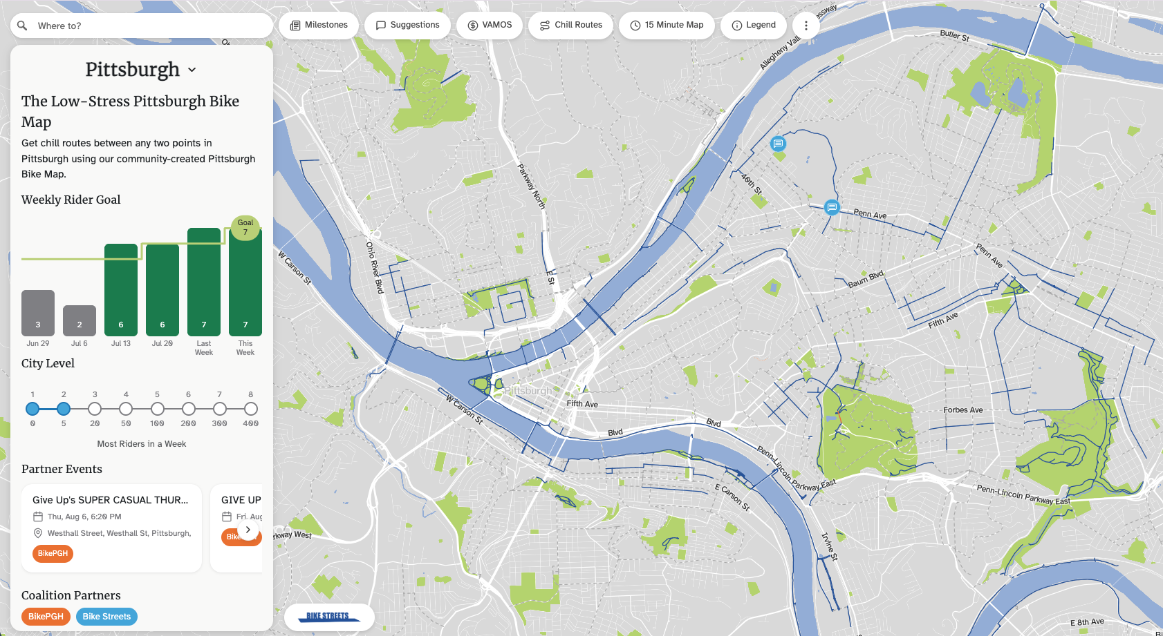
On the map itself, you’ll find the City’s recommended routes, as well as the user-generated routes on the chill streets. As anyone who rides knows, these are not necessarily the same streets.
If you’re interested in sharing your local knowledge with other Pittsburgh riders, you can sign up to the app, ride around, and contribute your chill routes, add notes (eg. ride the sidewalk), and share your secret cuts. Users can even add obstructions like construction, hazards, or recommendations to walk your bike (eg. a staircase runnel). Once on the map, other users can then vote and comment on the proposed streets.
All of this is knit together to inform the routes that the turn-by-turn navigation uses to direct any rider around town on the best available bike network.
But the app needs your input, especially if you are familiar with sections of town without bike lanes.
What are your favorite streets to navigate your neighborhood? Do you know ways to cut through a neighborhood that Google will never pick up?
Did you know: Designating BikePGH as a beneficiary can have a big impact and may avoid unwanted taxes for your heirs. Click here to learn about selecting BikePGH as a beneficiary of your IRA, life insurance policy, or donor-advised fund.
 NEWSLETTER