BikePGH’s Membership Challenge Week 1

Week 1 Challenge: Steps
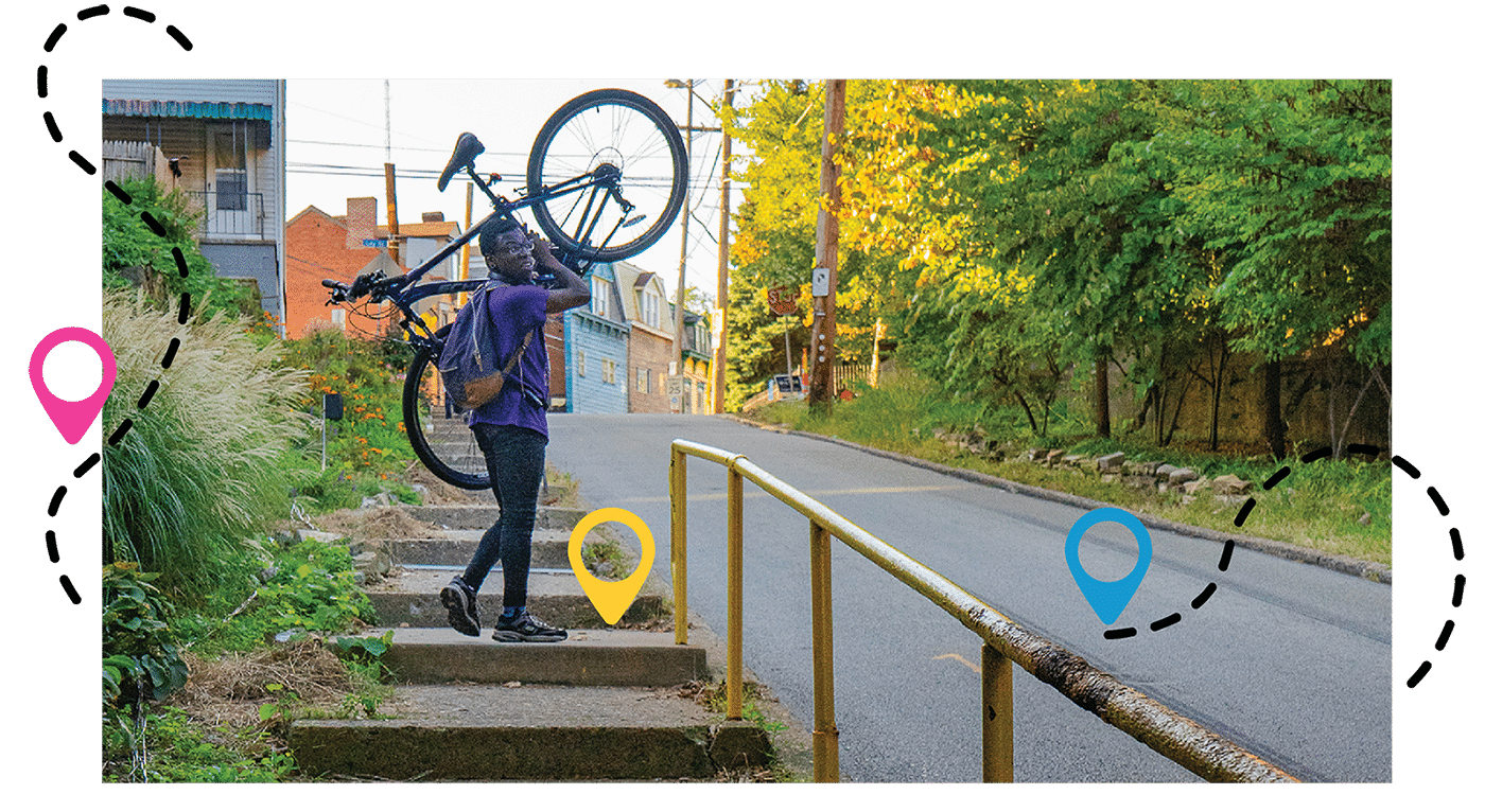
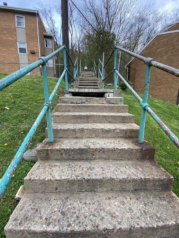
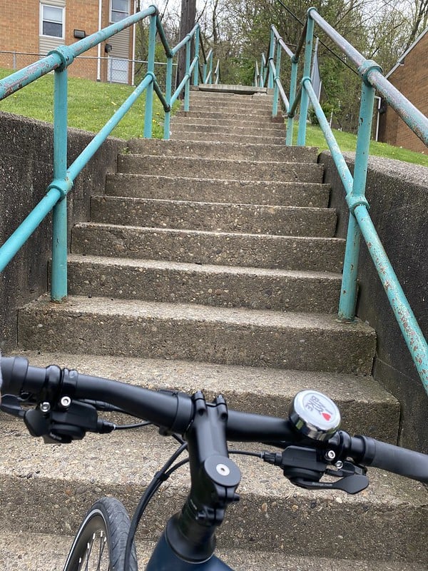
Everyone knows our City has challenging topography, but they might not know that Pittsburgh has hundreds of public staircases that serve the vital purpose of connecting our hilly neighborhoods without the need for a car. Thousands of residents rely on stairs for transportation and this week’s challenge will highlight vital connections across our communities.
There are more than 800 sets of public steps in Pittsburgh. That’s over 45,000 individual steps in the City, so if you live in one of our 90 neighborhoods, chances are there’s a set of steps near you.
This week we are challenging you to create a route and discover a new set of steps in or around your neighborhood.

Step 1:
Choose a set of steps near you to visit using the City Steps Map. Here are a few of our favorites!
PS. Looking for more steps to visit? Check out this interactive map, that includes photos and information about hundreds of Pittsburgh Steps. (Note that not all steps on this map are maintained, make sure to use caution and best judgement as you explore!)
Step 2:
Use BikePGH’s Bike Map or the mapping tool of your choice to plan your walk or ride to the stairs.
Pick up a free paper map at the bike fix-it stand in front of the BikePGH office (188 43rd St, Pittsburgh, PA 15201)
Step 3:
Put on your walking shoes or grab your bike and head out on your adventure! Document your journey to let us know what set of steps you visit, and take a selfie with it! Tell us why you love this set of steps – does it have an awesome view? Is it an essential path through the neighborhood?
- Tag @BikePGH
- Hashtag #RollNStrollPGH
Step 4:
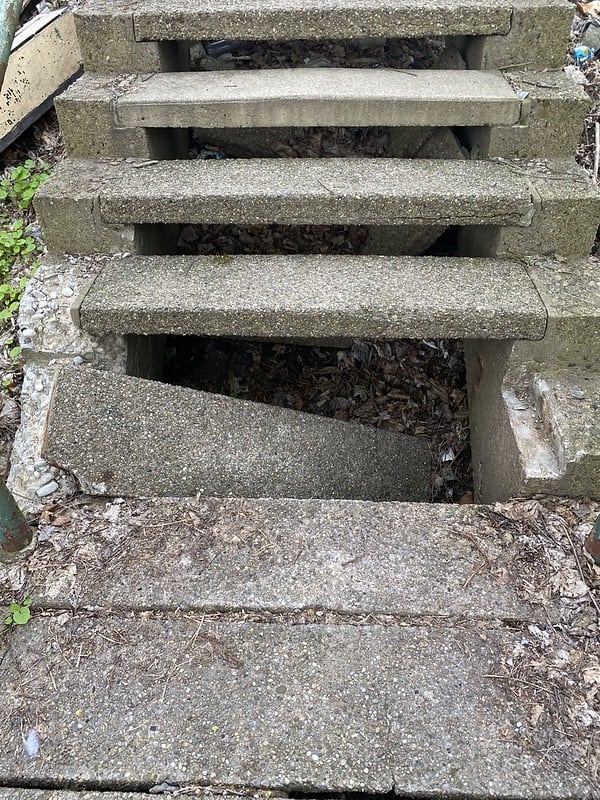
What kind of condition are the steps in? This is the time to put your BikePGH Advocate hat on! Submit any dangerous conditions with the City of Pittsburgh’s 311 service. PGH 311 is a hotline that allows residents to submit complaints to the city on any number of issues, from potholes, and water main breaks. Citizens can use the phone number (Dial 3-1-1), MyBurgh App, or Tweet (@PGH311) to air their grievances to the city. It’s an effective tool used by citizens and advocates to help improve issues both minor and major.
Here’s your chance to make steps, streets, and sidewalks safer for everyone in our community.
Step 5:
Put on your walking shoes or grab your bike and head out on your adventure! Document your journey to let us know what set of steps you visit, and take a selfie with it! Tell us why you love this set of steps – does it have an awesome view? Is it an essential path through the neighborhood?
- Tag @BikePGH
- Hashtag #RollNStrollPGH

Follow along on our adventure!
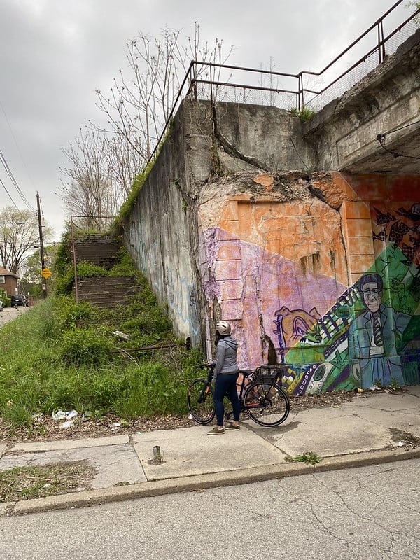
Hey friends! My name is Keya, and I’m the Events Director here at BikePGH. Ready to attempt the Roll & Stroll Challenge for Week 1 – Steps! I live near busy Penn Avenue in Point Breeze, so my first thought was that I wanted to check out something away from the traffic on the main stretch – drivers are particularly crazy out there! I pulled up the City Steps Map and zoomed over to the wooded areas to the east of my house… always a sucker for some steps leading up into dense foliage.
After clicking around for a bit I think I’ve found my destination – the Monticello Street Steps. They seem to lead right up into the woods, and there’s no photo on the database so this somehow feels more adventurous? Quarantine is getting to me. Anyway, I take a look at the BikePGH Bike Map and find the cross streets – Brushton and Monticello – and scan for bike friendly routes. You can also always use Google, but I’m trying to do this old-school so it will take up more quaran-time. Almost too perfect, Homewood Ave around the corner is a marked on street route, and intersects with Monticello about 25 blocks up. Let’s roll!

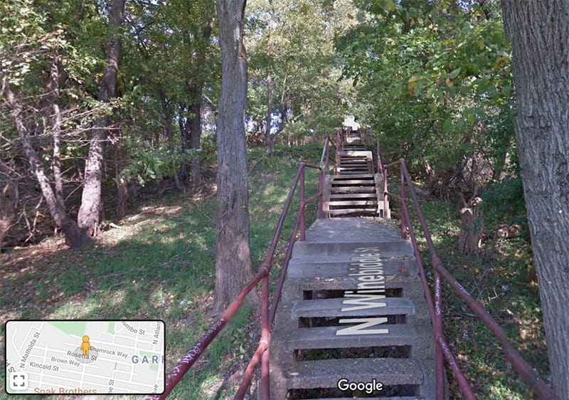
Explore the Pittsburgh Steps Virtually
Activity Level: Low
Duration: As long as you want!
For those who may not be able to comfortably leave their homes right now, there is a way to explore the Pittsburgh Steps virtually! Check out this interactive map, that includes photos and information about hundreds of Pittsburgh Steps, including those no longer maintained by the city. Drop your Google pin into any area of the city from the right-hand corner, and explore to see if you can find some steps. Some of these steps can be traversed in their entirety from Street View just like a city road!
Check out these examples:
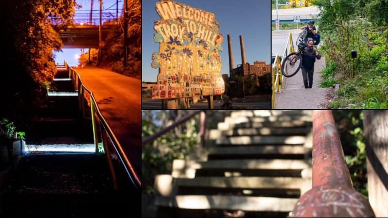
Experience an Audio Walk in Troy Hill
Activity Level: Moderate – High Intensity (lots of steps!)
Duration: ~90 Minutes
If you missed out on attending the Troy Hill Steps We Take event last Fall, you’ll be excited to know that you can still experience this one-of-a-kind urban hike through one of Pittsburgh’s coolest neighborhoods. Using a free smartphone app, you can walk up and down the steps that connect the hill to surrounding areas, while listening to geolocated audio curated by local artists as you ascend and descend each staircase. (Don’t forget to bring headphones!)
Click here for a map and instructions! Click here to download the Echoes app.
Put on your walking shoes or grab your bike and head out on your adventure! Document your journey to let us know what set of steps you visit, and take a selfie with it! Tell us why you love this set of steps – does it have an awesome view? Is it an essential path through the neighborhood?
- Tag @BikePGH
- Hashtag #RollNStrollPGH